In the West, our lives and livelihoods depend on safe and sufficient water supplies to meet the needs of human and natural communities. Peak water projects bring providers, farmers, ranchers, environmental advocates, and everyday water users together to develop and protect supplies, maximize use of existing resources, maintain quality, and restore stream systems.

“Peace cannot be kept by force; it can only be achieved by understanding.” —Albert Einstein
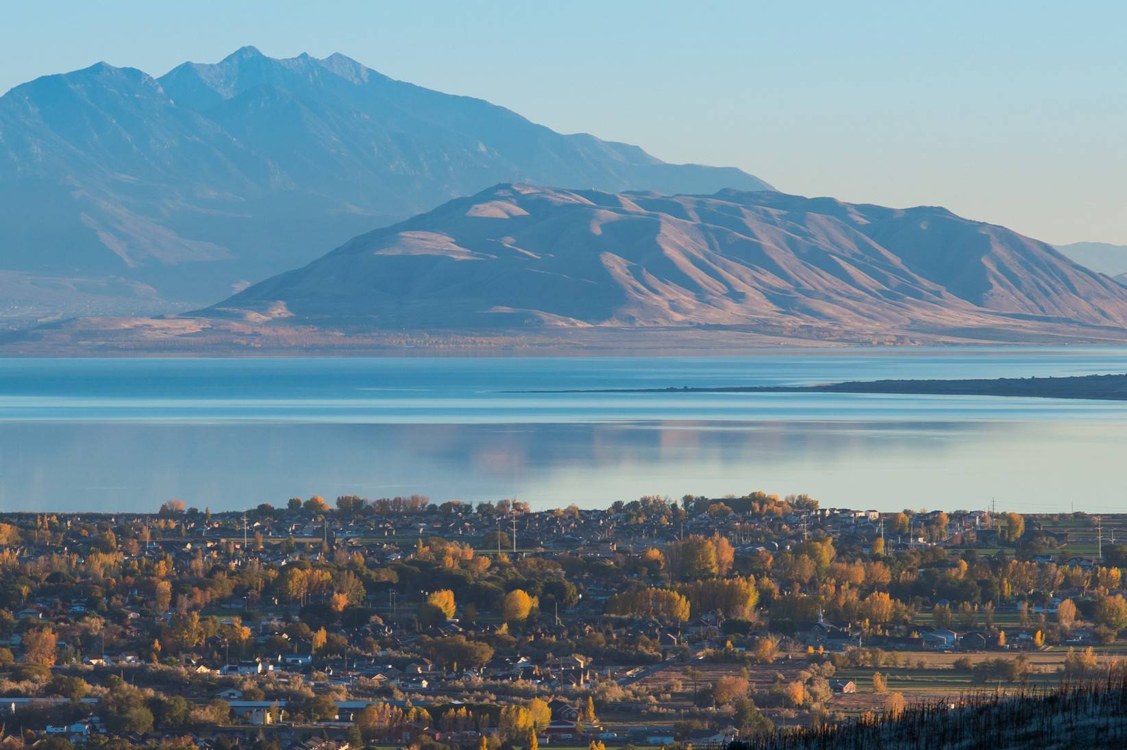
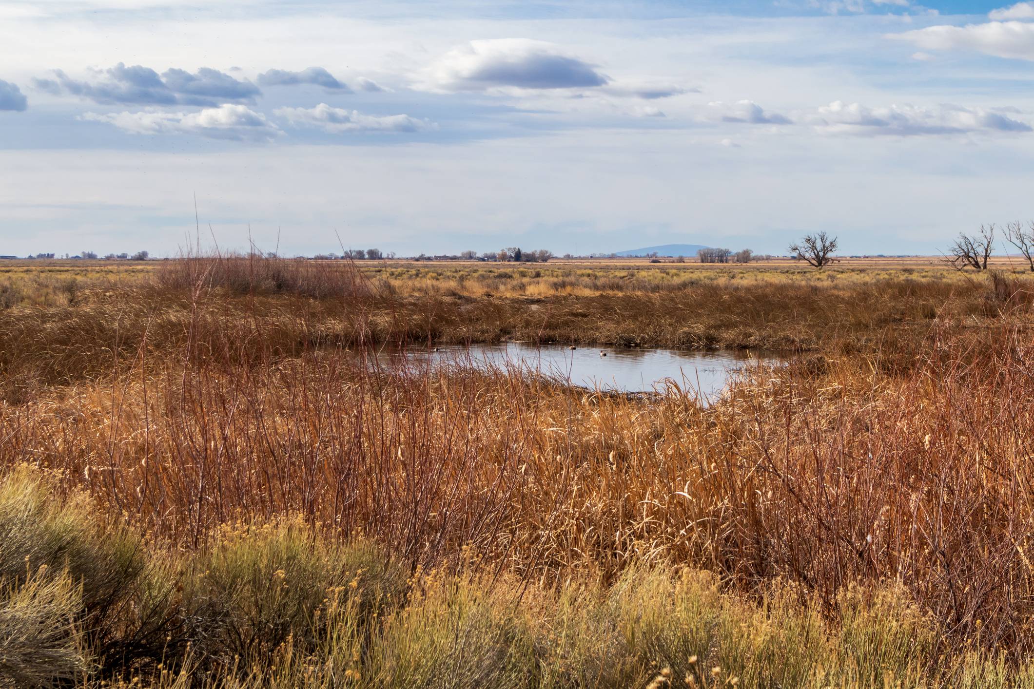
Utah Lake Water Quality Study
Through a collaborative, science-based process, the Utah Lake Water Quality Study aims to determine target nitrogen and phosphorus concentrations that support Utah Lake's recreational, ecological, and agricultural uses as designated by the Clean Water Act. Natural factors and human impacts have contributed to elevated nutrient concentrations and harmful algal blooms in Utah's largest freshwater lake. Initiated by the Utah Division of Water Quality in 2015, the study is jointly conducted by a Science Panel of expert researchers and a Steering Committee of municipalities, state managers, wastewater treatment facilities, and other interest group representatives. The Study's multi-phase process has involved a comprehensive literature review, water quality data analysis and modeling, and stakeholder engagement to develop recommendations grounded in Utah Lake's local context. Lead facilitators: Heather Bergman and Samuel Wallace
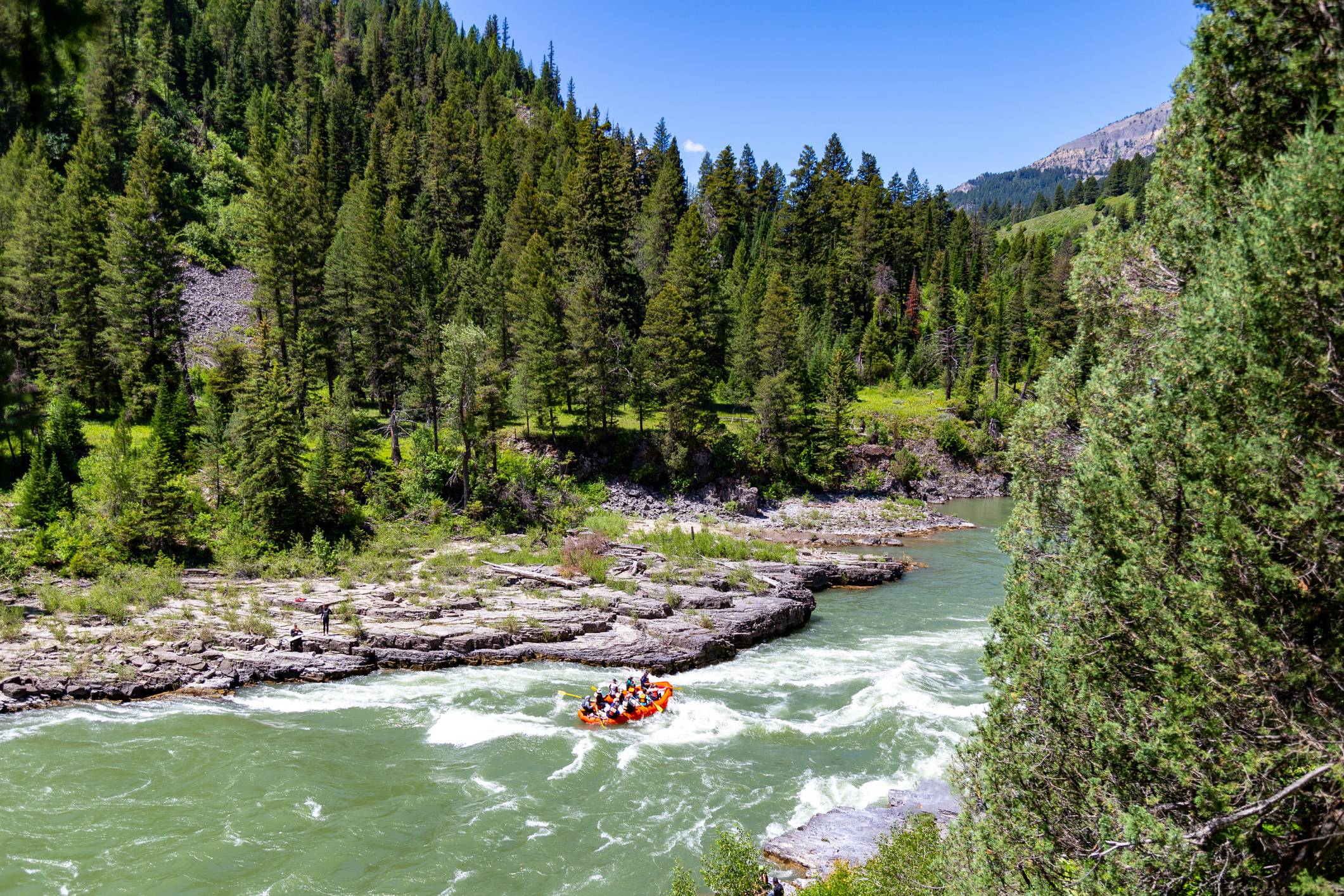
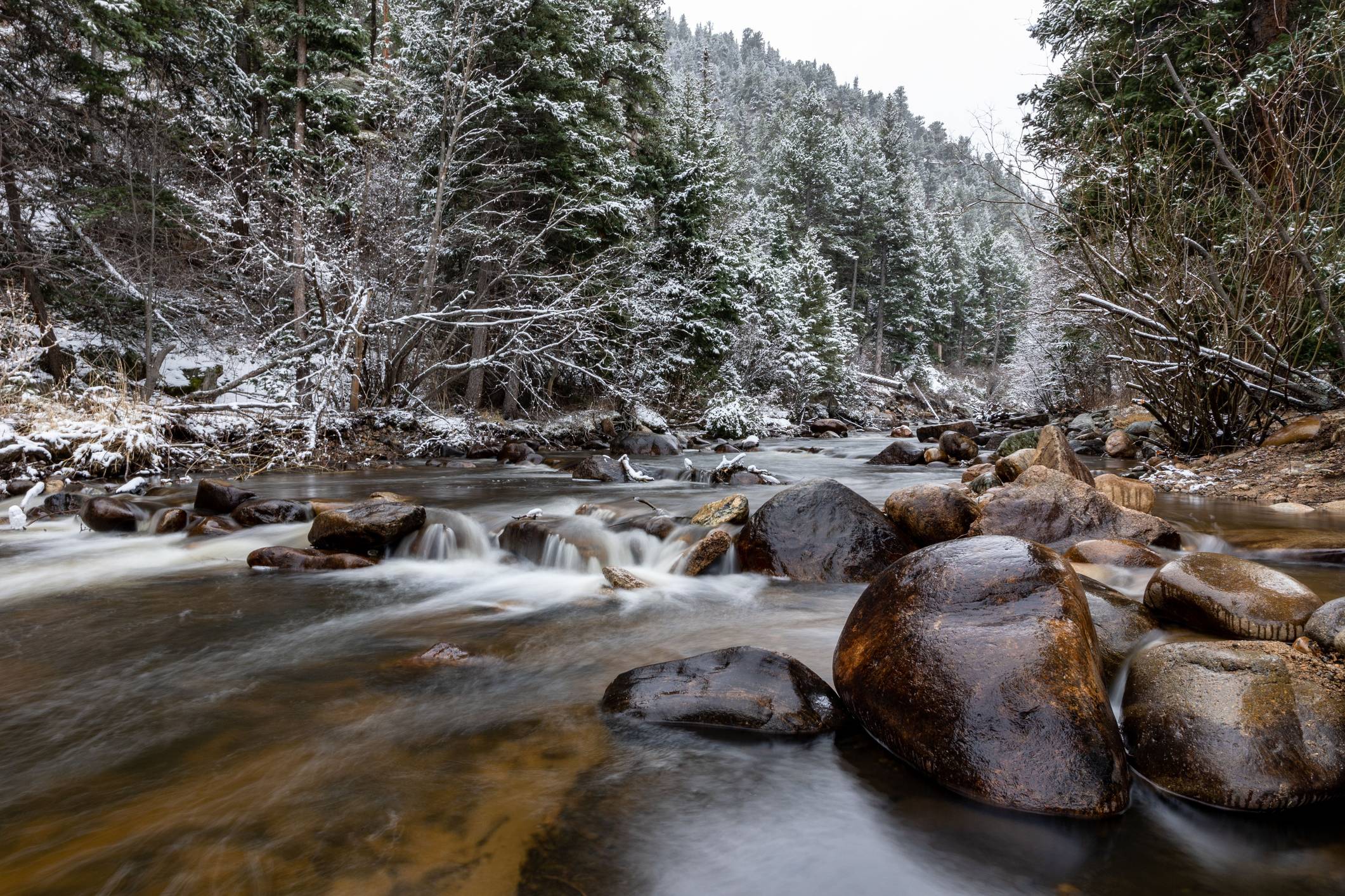
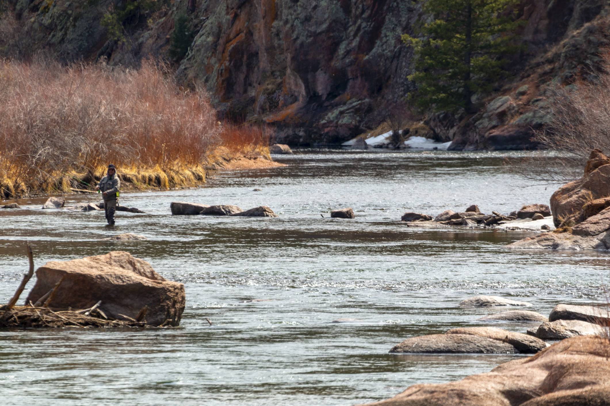
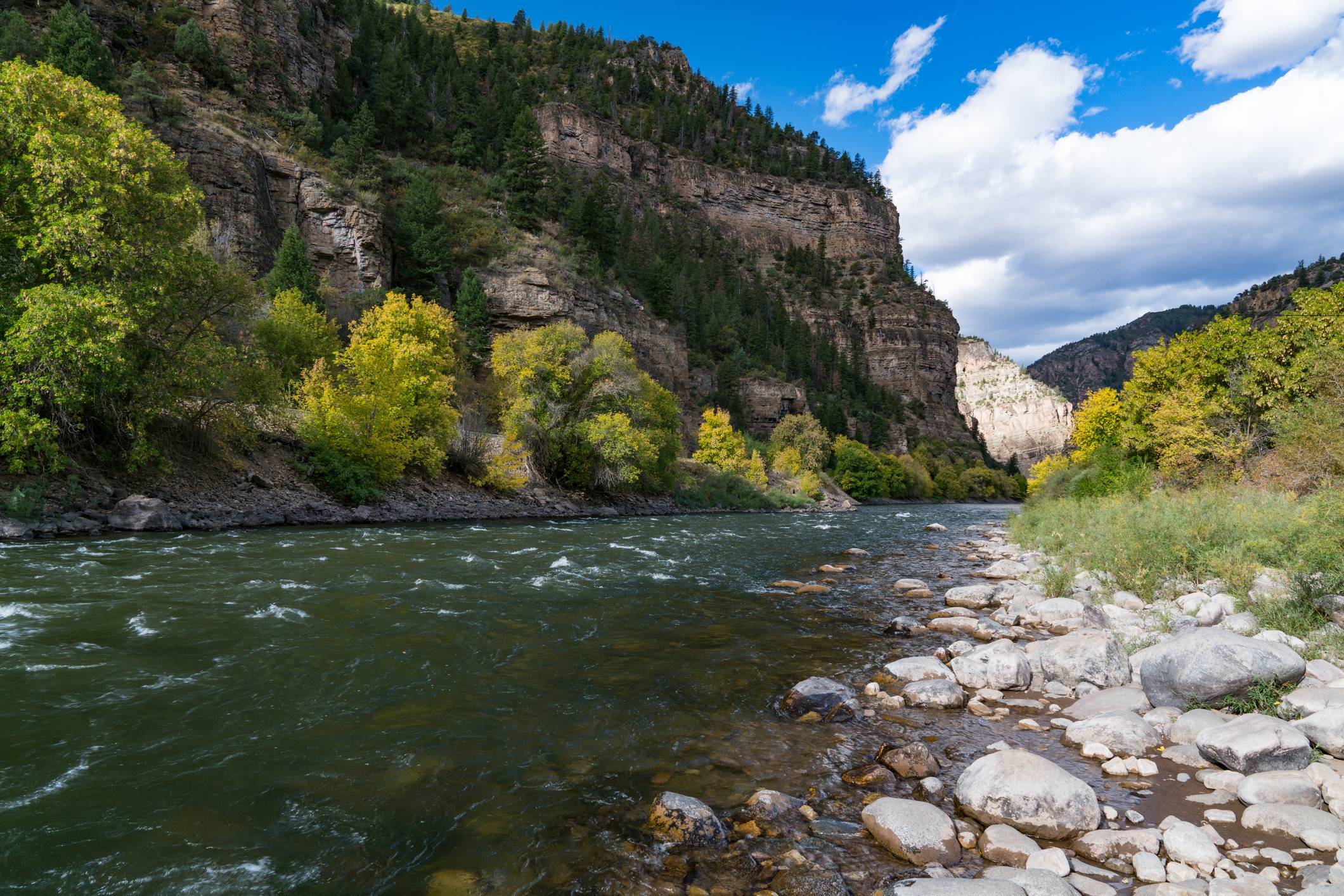
Colorado Rivermap
The Colorado Rivermap is a collaborative planning effort to elevate innovative solutions to the challenges facing Colorado's rivers, including crowded recreation sites, degraded ecosystems, and safety risks to recreators. The project unites a broad coalition of stakeholders from the recreation industry, agricultural community, state and federal management agencies, and nonprofit organizations. The Rivermap aims to build on proven successes and leverage existing expertise, while also facilitating regional knowledge sharing to foster the development of new, creative approaches to river management. Ultimately, the Rivermap will propose strategies to improve stewardship and safety on Colorado's recreational rivers, identify local projects for future investment, and build a durable stakeholder network to advance the Rivermap's plans toward on-the-ground implementation. Lead facilitators: Heather Bergman and Samuel Wallace
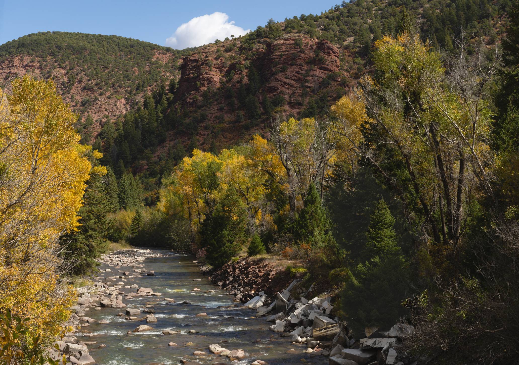
Grand County Stream Management Plan Update
The Grand County Stream Management Plan (GCSMP) was originally published in 2010 to address stream and aquatic habitat concerns. Grand County Learning by Doing (LBD), a partnership of municipal governments, water utilities, water users, state agencies, and conservation organizations, initiated the GCSMP update in 2022 to identify a new set of actionable projects to address ecosystem changes resulting from wildfires and pine beetle kill. Phase 1 of the update involved identifying local stakeholders' visions, goals, and concerns regarding stream conditions in the planning area through a facilitated engagement process. In Phase 2, LBD and stakeholders will identify priority stream reaches, develop stream and habitat improvement projects, and create an implementation plan to guide continued stream restoration and protection in Grand County. Lead facilitator: Samuel Wallace
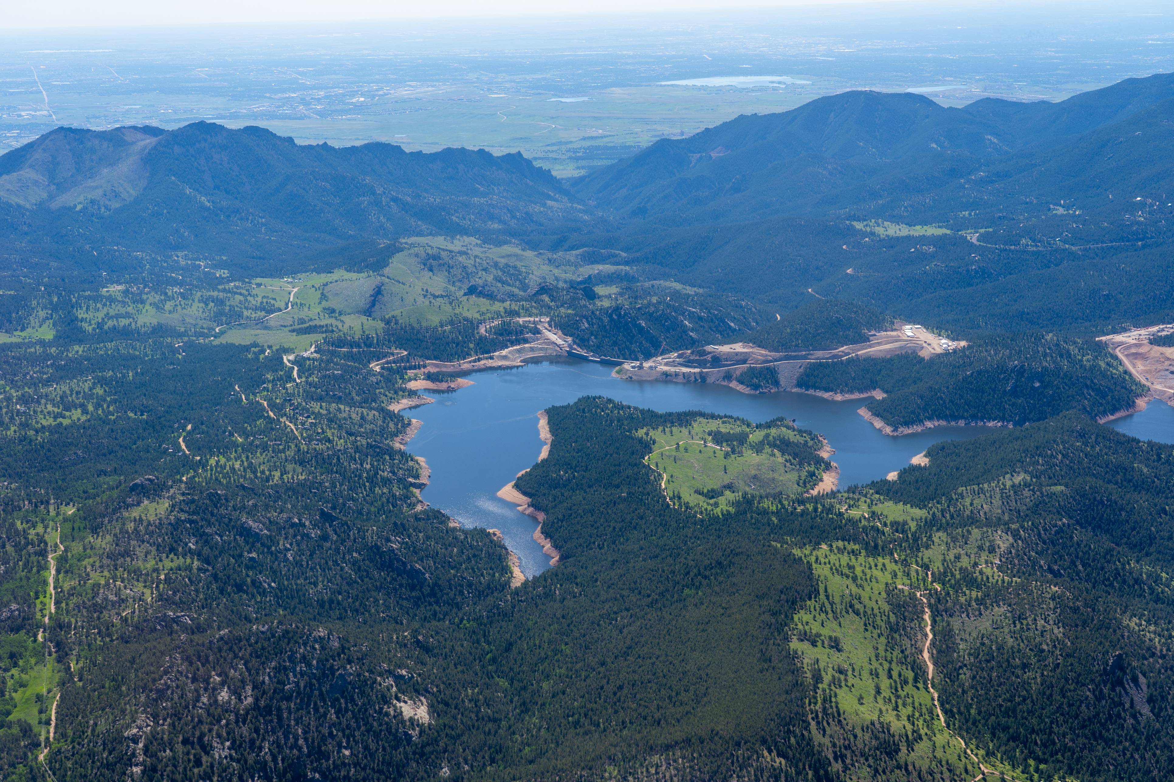
Boulder County Gross Reservoir Impacts Mitigation Fund Community Advisory Working Group
The Gross Reservoir Expansion Project Settlement Agreement between Boulder County and Denver Water directed Denver Water to pay $5 million to area residents to help mitigate noise, light, and air impacts associated with construction. Boulder County established a Community Advisory Working Group to recommend to the County Commissioners how to ensure the fair and equitable distribution of funds. Peak Facilitation supported Boulder County and the Community Advisory Working Group by organizing a recruitment process, designing the collaborative process, and facilitating in-room conversations. These efforts culminated in the Working Group submitting several recommendations to Boulder County Commissioners on how to fairly and equitably distribute funds, the majority of which were adopted. Lead facilitator: Samuel Wallace
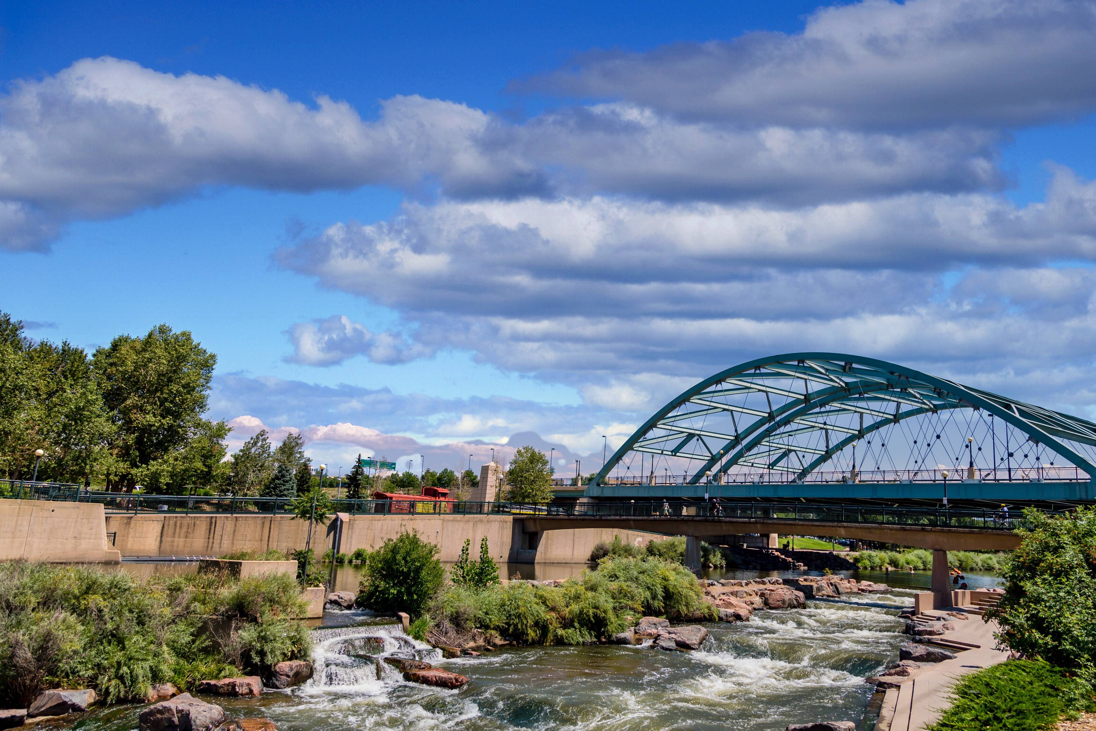
South Platte River Urban Waters Partnership
The South Platte River Urban Waters Partnership (SPRUWP) connects stakeholders, facilitates resource sharing, and cultivates a collaborative culture around water resources to protect and restore one of Denver's primary sources of drinking water, recreation, and economic growth. SPRUWP is one of 21 designated National Urban Waters Federal Partnership locations. The federal program seeks to reconnect urban communities with their waterways and improve the nation's water systems through federal coordination and collaboration with community-led efforts. SPRUWP meets quarterly to collaborate on cross-jurisdictional projects, share technical expertise, and explore solutions to protect and restore the South Platte River and its watershed as it flows from the headwaters through the Denver metropolitan area. Lead facilitator: Samuel Wallace
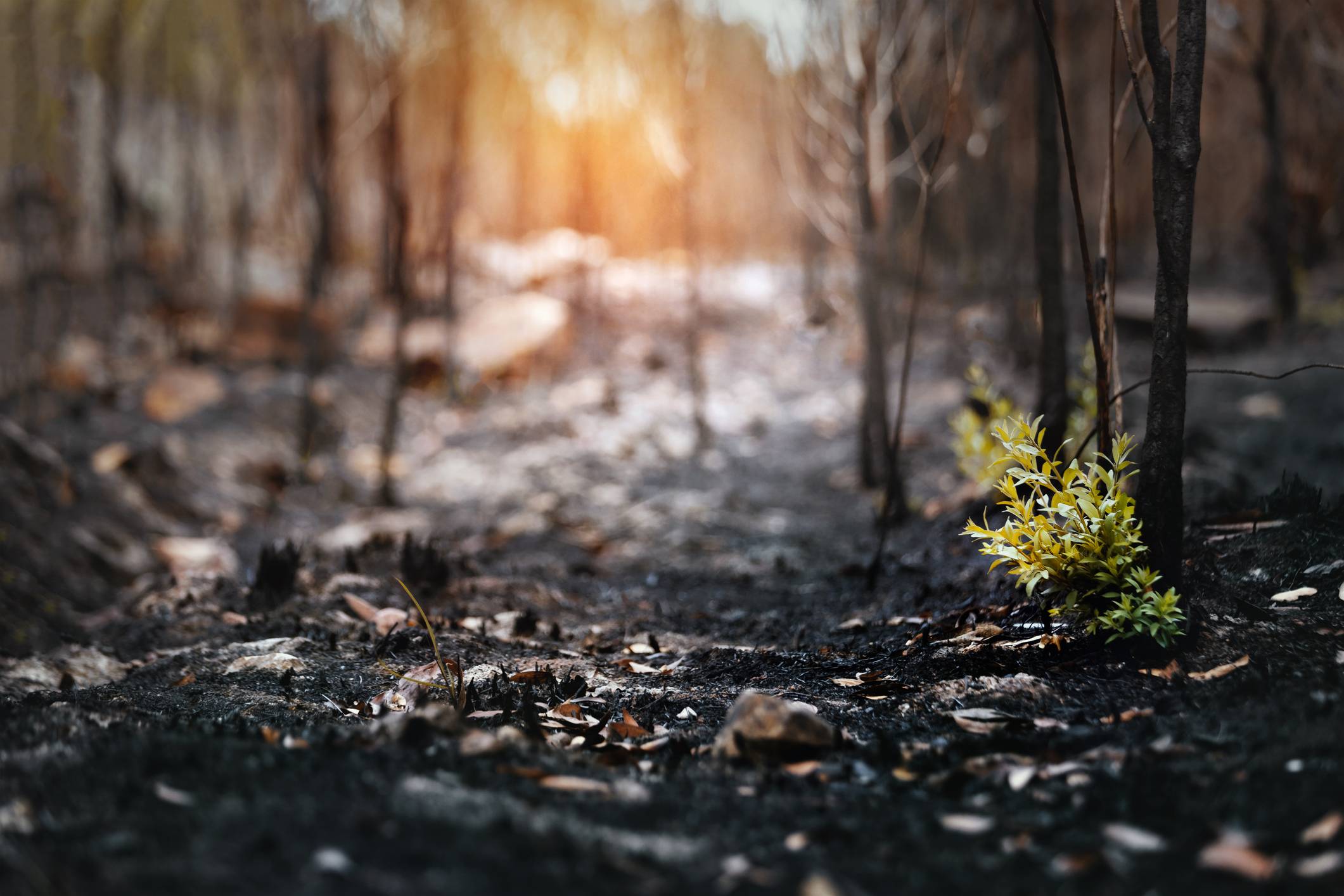
Grand County and North Fork of the Upper South Platte Wildfire Ready Action Plans
The Colorado Water Conservation Board created the Wildfire Ready Watersheds program to assess the susceptibility of Colorado's water resources, communities, and infrastructure to post-wildfire impacts. The program advances a framework for communities to proactively plan and implement strategies to mitigate these impacts. A key part of the program is developing local Wildfire Ready Action Plans (WRAPs) that assess post-fire hazards, identify values at risk, and elevate mitigation strategies. Peak Facilitation supported the development of a WRAP for Grand County and another for the North Fork of the Upper South Platte. Through collaborative meetings, stakeholders identified and prioritized risk-mitigation projects aligned with their values, ensuring their priorities were effectively incorporated into the final WRAP. Lead facilitator: Samuel Wallace
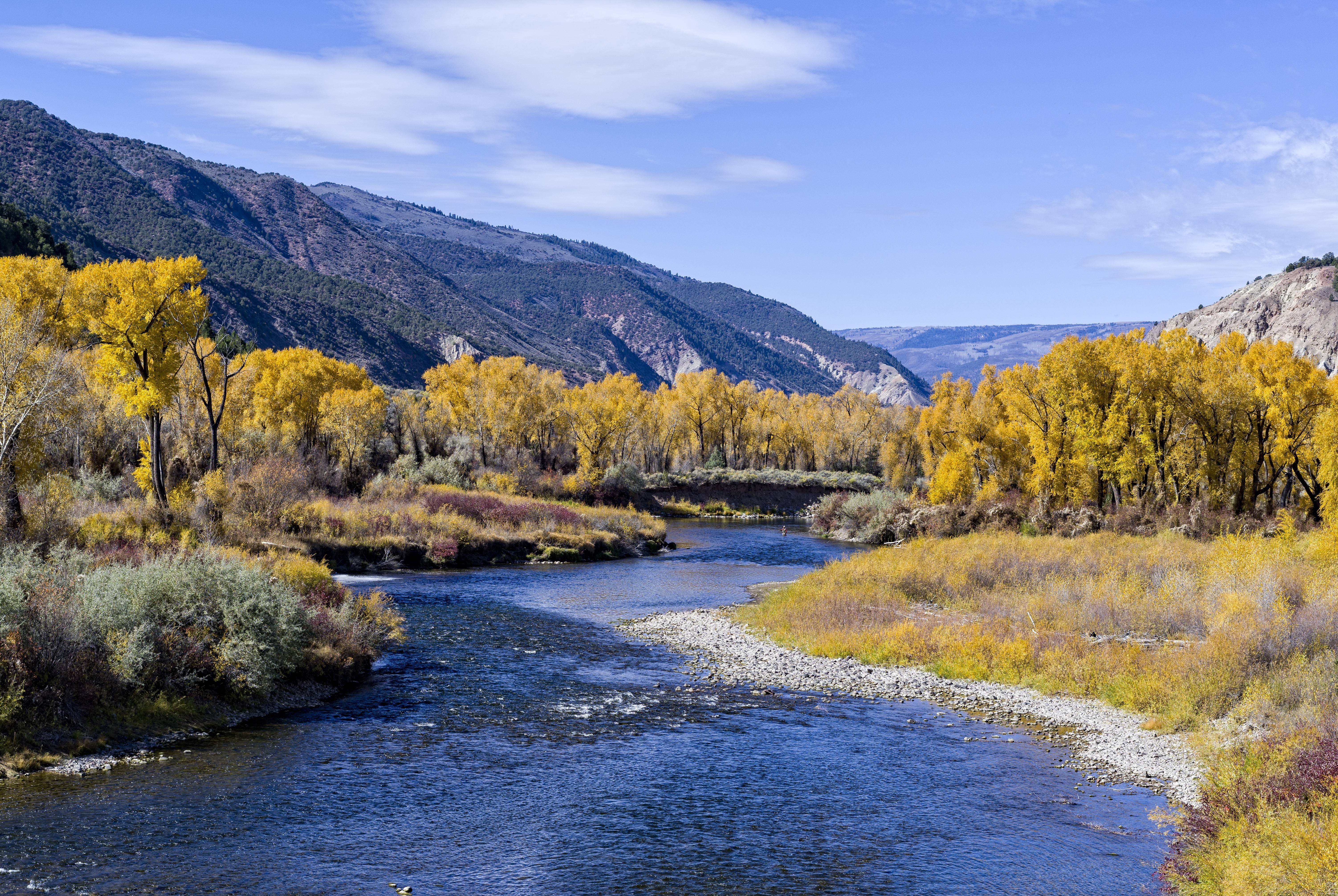
Eagle River Community Water Plan
The Eagle River Community Water Plan (ERCWP) was a multi-year effort to develop proactive water management strategies for the Eagle River Watershed. The plan engaged local conservation organizations, state and federal agencies, water providers, recreational users, commercial fishing and rafting guides, local municipalities, and agricultural experts. The Core/Technical Working Group provided input on technical data and information critical to the plan's development, and the Stakeholder Group ensured that community values, vision, and priorities were incorporated into the ERCWP. The plan outlined strategies to address anticipated changes in local hydrology resulting from population growth, rising water demand, climate change, and municipal water supply projects in the Eagle River watershed. Lead facilitators: Heather Bergman and Samuel Wallace
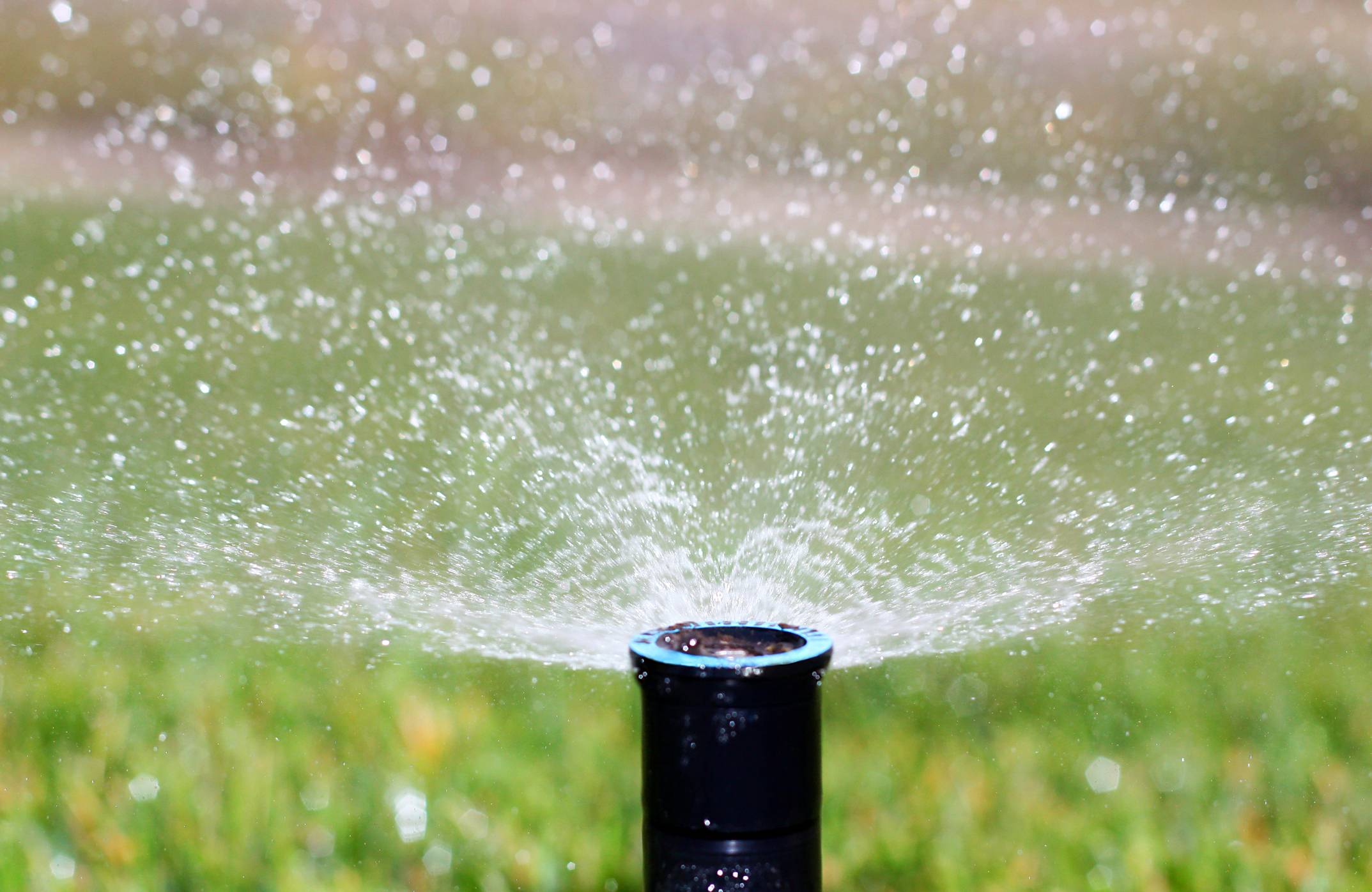
Water Efficiency Working Group
The Water Efficiency Working Group (WEWG) was a collaborative stakeholder group convened to advise the Denver Water Board of Commissioners on defining efficient water use, establishing benchmarks for efficiency, and developing strategies to improve consumer water conservation practices. WEWG members included the City and County of Denver, water distributors serving areas outside Denver's service boundaries, Denver City Parks, Denver Public Schools, the conservation community, the landscape industry, and water interests on the West Slope. Through 10 months of meetings, participants learned about water conservation issues and challenges, discussed options and ideas, and reached consensus on practical recommendations for new water-efficiency policies. These recommendations were integrated into Denver Water's updated Water Efficiency Plan. Lead facilitator: Heather Bergman
Fountain Creek Vision Task Force
The Fountain Creek Vision Task Force in southern Colorado brought together a diverse group of stakeholders seeking agreement on how to restore the 930-square-mile Fountain Creek watershed. The watershed spans three counties and encompasses multiple towns and cities, extensive agricultural land, and a large military base. Through productive dialogue, the participants identified common interests and shared goals. Ultimately, the Task Force produced a detailed watershed management plan and advanced the creation of a watershed district, which was established by the Colorado Legislature. Lead facilitator: Heather Bergman
St. Vrain & Left Hand Stream Management Plan
The St. Vrain and Left Hand Stream Management Plan is a comprehensive strategy to protect and improve the St. Vrain Creek and one of its major tributaries, Left Hand Creek. These creeks serve a wide range of users as they flow from the Continental Divide, through Lyons and Longmont, Colorado, to the confluence of St. Vrain Creek with the South Platte River. Through a series of collaborative engagement sessions, stakeholders identified projects and management strategies to shift from flood recovery to proactive stream health efforts that account for both current and future water needs. Lead facilitator: Heather Bergman
Interbasin Compact Committee
The Interbasin Compact Committee (IBCC) works to address Colorado's long-term water supply challenges, balancing the needs of utility providers, agricultural producers, industrial users, the recreation economy, and the environment. The 27-member committee includes representatives from each of Colorado's nine basin roundtables, as well as members appointed by the Governor and the State Legislature. Through facilitated dialogue, the IBCC reached an agreement on a conceptual framework for developing a transmountain diversion that benefits communities on both sides of the Continental Divide. This framework was later incorporated into Colorado's Water Plan. Lead facilitator: Heather Bergman
Lower Colorado Wild and Scenic River Stakeholder Collaborative
The Lower Colorado Wild and Scenic River Stakeholder Collaborative brought together ranchers, farmers, municipalities, environmental advocates, and the State of Colorado to engage in constructive dialogue about the benefits and challenges of Wild and Scenic eligibility and designation. Participants identified management options for protecting the remarkable values and current uses along the eligible stream segments. The Bureau of Land Management used the options and preferences identified by stakeholders to inform subsequent planning processes and documents. Lead facilitator: Heather Bergman